
UAV/RPAS Drone Aerial Surveying
Accurate and Detailed 2 or 3 Dimensional Maps for Multiple Industries
Airborne Recon Canada is an experienced, certified and insured aerial drone provider, based in Hamilton, Ontario.
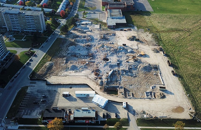
With our aerial surveying services, we make land surveying made easy. Track the progress of your project with 3d maps of construction sites. Create accurate drainage maps, or survey new areas for development.
Monitor environmental changes to the landscape. Create volume measurements of aggregates, timber, or biomass. The possible applications are endless.
Our innovative UAV/RPAS techniques provide an efficient, cost-effective and accurate means to get the data you need to get the job done.
To learn more about our UAV drone aerial surveying services, Contact Airborne Recon Canada today at 905-517-8572 or email us at info@airbornerecon.ca